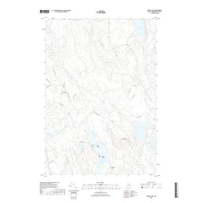
2018 Map of Round Lake
USGS Topo · Published 2018About this map
The East Machias River winds through a landscape of glacial lakes and extensive wetlands in this 2018 survey of Washington County. The waterway is punctuated by features such as Great Meadow Riffles and Munson Rips, while nearby Joe Hunscom Heath indicates the boggy, low-lying character of the surrounding terrain. Elevated landforms like Talbot Ridge and the Round Lake Hills rise above the basin, providing geographic contrast to the water-dominated geography.
Find a feature on this map
50 named features on this map. Tap any name to fly to it.
Don’t see what you’re looking for? This feature index may not catch every label — zoom into the map to look around manually.
Map Details
Editions of this 2018 Round Lake Map
This is the sole edition of this map. No revisions or reprints were ever made.
Other maps of this area

1929 · Calais
USGS Topo · 1:48,000

1932 · Calais
USGS Topo · 1:62,500

1941 · Wesley
USGS Topo · 1:62,500

1941 · Gardner Lake
USGS Topo · 1:62,500

1941 · Big Lake
USGS Topo · 1:62,500

1943 · Big Lake
USGS Topo · 1:62,500

1943 · Wesley
USGS Topo · 1:62,500

1943 · Gardner Lake
USGS Topo · 1:62,500

1952 · Big Lake
USGS Topo · 1:50,000

1957 · Fredericton
USGS Topo · 1:250,000