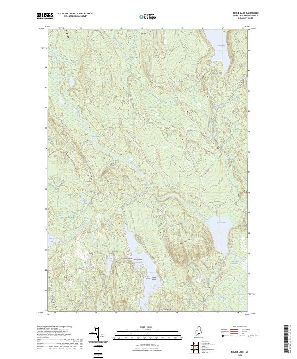
2024 Map of Round Lake
USGS Topo · Published 2024About this map
The East Machias River winds through a vast network of wetlands and glacial lakes in this contemporary study of Washington County. This landscape is defined by its complex hydrology, where the river connects Great Meadow and the Great Meadow Riffles to significant water bodies like Round Lake and Indian Lake. The presence of Jog Hanscom Heath and Oak Point Meadow indicates a terrain dominated by peatlands and marshes, characteristic of Maine's downeast interior. Modern forestry and land management are evident through an extensive network of timber roads, including the Champion 85-08-0 and 85-00-00 Rd systems, which provide access to the timberlands surrounding Talbot Ridge and Long Lake Ridge. Local history is preserved in the naming of features like Seavey Lake and Palmer Brook, reflecting the families who settled this drainage basin.
Find a feature on this map
46 named features on this map. Tap any name to fly to it.
Don’t see what you’re looking for? This feature index may not catch every label — zoom into the map to look around manually.
Map Details
Editions of this 2024 Round Lake Map
This is the sole edition of this map. No revisions or reprints were ever made.
Other maps of this area

1929 · Calais
USGS Topo · 1:48,000

1932 · Calais
USGS Topo · 1:62,500

1941 · Wesley
USGS Topo · 1:62,500

1941 · Gardner Lake
USGS Topo · 1:62,500

1941 · Big Lake
USGS Topo · 1:62,500

1943 · Big Lake
USGS Topo · 1:62,500

1943 · Wesley
USGS Topo · 1:62,500

1943 · Gardner Lake
USGS Topo · 1:62,500

1952 · Big Lake
USGS Topo · 1:50,000

1957 · Fredericton
USGS Topo · 1:250,000