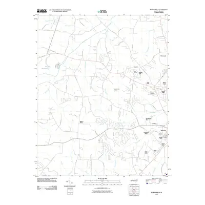
2010 Map of Rowan Mills
USGS Topo · Published 2010About this map
Rowan Mills and the western reaches of Salisbury form a complex landscape of mid-century suburban expansion and industrial infrastructure in this 2010 survey. The area south of West Salisbury is densely layered with residential developments like Lincoln Heights and Watson Village, interspersed with recreational and transit hubs such as the Rolling Hills Golf Course and the Rowan County Airport. This pattern of development is framed by the natural drainage of Grants Creek and Second Creek, which define the topography between established clusters like Mocksville and Lockeland.
Find a feature on this map
82 named features on this map. Tap any name to fly to it.
Don’t see what you’re looking for? This feature index may not catch every label — zoom into the map to look around manually.
Map Details
Editions of this 2010 Rowan Mills Map
This is the sole edition of this map. No revisions or reprints were ever made.
Other maps of this area

1893 · Statesville
USGS Topo · 1:125,000

1950 · Churchland
USGS Topo · 1:24,000

1951 · Churchland
USGS Topo · 1:24,000

1953 · Charlotte
USGS Topo · 1:250,000

1954 · Charlotte
USGS Topo · 1:250,000

1960 · Charlotte
USGS Topo · 1:250,000

1962 · Charlotte
USGS Topo · 1:250,000
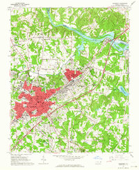
1962 · Salisbury
USGS Topo · 1:24,000
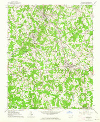
1962 · Rockwell
USGS Topo · 1:24,000

1969 · Cooleemee
USGS Topo · 1:24,000