
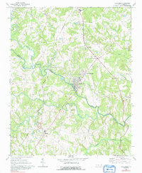
1969 Map of Cooleemee
USGS Topo · Published 1972About this map
The Yadkin River and South Yadkin River converge in this Piedmont landscape, defining the boundary between Davie and Rowan counties. The textile mill town of Cooleemee is the primary population center, with its dense street grid and proximity to the river’s Gaging Sta. The Southern railroad line runs through the western half of the map, supporting agricultural settlements like Woodleaf and the rail-oriented Cooleemee Junction.
Find a feature on this map
39 named features on this map. Tap any name to fly to it.
Don’t see what you’re looking for? This feature index may not catch every label — zoom into the map to look around manually.
Map Details
Editions of this 1969 Cooleemee Map
2 editions found
Other maps of this area

1893 · Statesville
USGS Topo · 1:125,000

1950 · Churchland
USGS Topo · 1:24,000

1951 · Churchland
USGS Topo · 1:24,000

1953 · Charlotte
USGS Topo · 1:250,000

1954 · Charlotte
USGS Topo · 1:250,000

1960 · Charlotte
USGS Topo · 1:250,000

1962 · Charlotte
USGS Topo · 1:250,000
1962 · Salisbury
USGS Topo · 1:24,000

1969 · Cool Springs
USGS Topo · 1:24,000
1969 · Advance
USGS Topo · 1:24,000