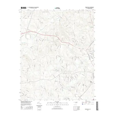
2016 Map of Rowan Mills
USGS Topo · Published 2016About this map
Rowan Mills and Franklin anchor this 2016 survey of the Piedmont landscape northwest of Salisbury. The area is defined by a dense network of watercourses, including the meandering Second Creek, Withrow Creek, and Grants Cr, which historically shaped the placement of early settlements and mills in the county. Industrial footprints are evident at Fiber Lake and the Rowan County Airport, reflecting the region's modernization while maintaining its rural character through numerous family-named roads like Ernest Miller Rd and Kluttz Rd. The map also captures several curiously named local landmarks such as Jump and Run Br and Draft Br, providing a detailed look at the local geography just before recent suburban expansion further altered the traditional landscape of Rowan County.
Find a feature on this map
164 named features on this map. Tap any name to fly to it.
Don’t see what you’re looking for? This feature index may not catch every label — zoom into the map to look around manually.
Map Details
Editions of this 2016 Rowan Mills Map
This is the sole edition of this map. No revisions or reprints were ever made.
Other maps of this area

1893 · Statesville
USGS Topo · 1:125,000

1950 · Churchland
USGS Topo · 1:24,000

1951 · Churchland
USGS Topo · 1:24,000

1953 · Charlotte
USGS Topo · 1:250,000

1954 · Charlotte
USGS Topo · 1:250,000

1960 · Charlotte
USGS Topo · 1:250,000

1962 · Charlotte
USGS Topo · 1:250,000
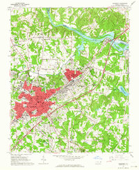
1962 · Salisbury
USGS Topo · 1:24,000
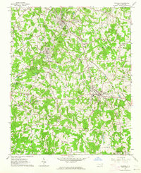
1962 · Rockwell
USGS Topo · 1:24,000

1969 · Cooleemee
USGS Topo · 1:24,000