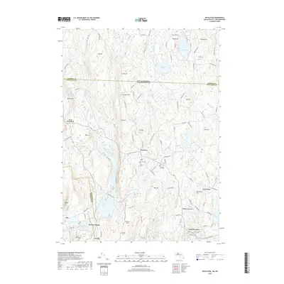
2018 Map of Royalston
USGS Topo · Published 2018About this map
The hills and watercourses of northern Worcester County define this landscape along the border of New Hampshire. Royalston serves as a central hub, surrounded by smaller settlements like West Royalston and the southern riverside community of South Royalston. The topography is marked by several prominent summits, including Tully Mtn and Jacob Hill, while the Millers River and East Branch Tully River dictate the drainage of the region. Genealogy researchers can find several burial grounds, such as Old Centre Cem and Riverside Cem, scattered across the township. The presence of Tully Lake and Laurel Lake highlights the significant water resources in the area, while smaller features like Spirit Falls and Paine Swamp illustrate the varied wetland and woodland character of the terrain.
Find a feature on this map
121 named features on this map. Tap any name to fly to it.
Don’t see what you’re looking for? This feature index may not catch every label — zoom into the map to look around manually.
Map Details
Editions of this 2018 Royalston Map
This is the sole edition of this map. No revisions or reprints were ever made.
Other maps of this area

1887 · Warwick
USGS Topo · 1:62,500

1887 · Winchendon
USGS Topo · 1:62,500

1889 · Warwick
USGS Topo · 1:62,500

1890 · Winchendon
USGS Topo · 1:62,500

1894 · Winchendon
USGS Topo · 1:62,500

1894 · Warwick
USGS Topo · 1:62,500

1898 · Monadnock
USGS Topo · 1:62,500

1898 · Keene
USGS Topo · 1:62,500

1932 · Warwick
USGS Topo · 1:48,000

1932 · Winchendon
USGS Topo · 1:48,000