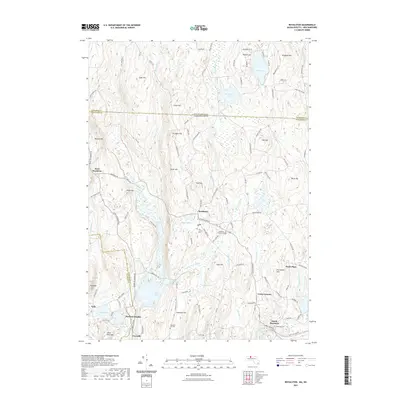
2021 Map of Royalston
USGS Topo · Published 2021About this map
Royalston and its surrounding villages sit at a historic geographic crossroads where the Massachusetts-New Hampshire state line meets the Franklin and Worcester county boundaries. The landscape is defined by the significant hydrological network of the East Branch Tully River and the Millers River, which carve through a terrain of prominent peaks including Tully Mtn and Jacob Hill. Large-scale water management and conservation are evident in the presence of Tully Lake and the wetlands of Paine Swamp.
Find a feature on this map
117 named features on this map. Tap any name to fly to it.
Don’t see what you’re looking for? This feature index may not catch every label — zoom into the map to look around manually.
Map Details
Editions of this 2021 Royalston Map
This is the sole edition of this map. No revisions or reprints were ever made.
Other maps of this area

1887 · Warwick
USGS Topo · 1:62,500

1887 · Winchendon
USGS Topo · 1:62,500

1889 · Warwick
USGS Topo · 1:62,500

1890 · Winchendon
USGS Topo · 1:62,500

1894 · Winchendon
USGS Topo · 1:62,500

1894 · Warwick
USGS Topo · 1:62,500

1898 · Monadnock
USGS Topo · 1:62,500

1898 · Keene
USGS Topo · 1:62,500

1932 · Warwick
USGS Topo · 1:48,000

1932 · Winchendon
USGS Topo · 1:48,000