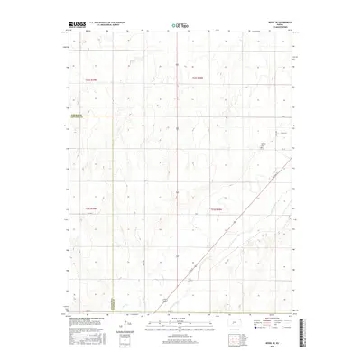
2015 Map of Rozel SE
USGS Topo · Published 2015About this map
The Arkansas River cuts across the southeastern corner of this 2015 survey, defining the agricultural landscape of the Pawnee and Edwards county line. This region of central Kansas is characterized by its organized grid of section lines and rural infrastructure, anchored by the Garfield Cem which serves as a significant landmark for local family historians. The drainage of Coon Cr moves through the southern sections, feeding into the larger river basin. A network of local thoroughfares, including School St, 6th St, and the diagonal path of Ne Trail St, illustrates the intersection of modern county planning and traditional land divisions. The terrain, detailed by the U.S. Geological Survey, shows the subtle shifts in elevation that dictate the path of these waterways and the placement of the rural road network in this section of the Great Plains.
Find a feature on this map
16 named features on this map. Tap any name to fly to it.
Don’t see what you’re looking for? This feature index may not catch every label — zoom into the map to look around manually.
Map Details
Editions of this 2015 Rozel SE Map
This is the sole edition of this map. No revisions or reprints were ever made.
Other maps of this area

1889 · Larned
USGS Topo · 1:125,000

1889 · Kinsley
USGS Topo · 1:125,000

1891 · Larned
USGS Topo · 1:125,000

1892 · Kinsley
USGS Topo · 1:125,000

1894 · Kinsley
USGS Topo · 1:125,000

1955 · Great Bend
USGS Topo · 1:250,000

1955 · Pratt
USGS Topo · 1:250,000

1957 · Great Bend
USGS Topo · 1:250,000

1958 · Great Bend
USGS Topo · 1:250,000

1959 · Pratt
USGS Topo · 1:250,000