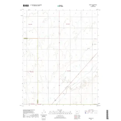
2018 Map of Rozel SE
USGS Topo · Published 2018About this map
Arkansas River bottomlands define the southeastern corner of this landscape, where the river's path is shadowed by the historic NE Trail St. The terrain here is marked by the shifting boundary between Pawnee and Edwards counties, following the township lines across a grid of rural roads. Agriculture and local transit are central to the area's organization, with thoroughfares like School St and 6th St providing structure to the rural sections. The small Garfield Cem serves as a quiet landmark for local genealogists and historians tracking early family settlements in this part of the Kansas plains. Drainage in the north and central portions is dominated by the winding course of Coon Cr, which cuts through the agricultural sections before approaching the larger river valley to the south.
Find a feature on this map
19 named features on this map. Tap any name to fly to it.
Don’t see what you’re looking for? This feature index may not catch every label — zoom into the map to look around manually.
Map Details
Editions of this 2018 Rozel SE Map
This is the sole edition of this map. No revisions or reprints were ever made.
Other maps of this area

1889 · Larned
USGS Topo · 1:125,000

1889 · Kinsley
USGS Topo · 1:125,000

1891 · Larned
USGS Topo · 1:125,000

1892 · Kinsley
USGS Topo · 1:125,000

1894 · Kinsley
USGS Topo · 1:125,000

1955 · Great Bend
USGS Topo · 1:250,000

1955 · Pratt
USGS Topo · 1:250,000

1957 · Great Bend
USGS Topo · 1:250,000

1958 · Great Bend
USGS Topo · 1:250,000

1959 · Pratt
USGS Topo · 1:250,000