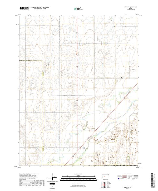
2022 Map of Rozel SE
USGS Topo · Published 2022About this map
The Arkansas River cuts across the southeastern corner of this Pawnee County landscape, defining a distinct topographical shift from the upland plains to the river valley. The agricultural grid is punctuated by local infrastructure such as School St, G Rd, and 6th St, reflecting a rural settlement pattern deeply tied to land sectioning. Near the intersection of Ne Trail St and the river corridor, the Garfield Cem serves as a significant genealogical marker for the surrounding community. Drainage from the north is captured by the winding course of Coon Cr, which meanders toward the river through a series of section-line roads including Co Rd 6 and Co Rd 12. This survey illustrates the modern configuration of western Kansas farmland and the enduring importance of the river basin to the region's layout.
Find a feature on this map
20 named features on this map. Tap any name to fly to it.
Don’t see what you’re looking for? This feature index may not catch every label — zoom into the map to look around manually.
Map Details
Editions of this 2022 Rozel SE Map
This is the sole edition of this map. No revisions or reprints were ever made.
Other maps of this area

1889 · Larned
USGS Topo · 1:125,000

1889 · Kinsley
USGS Topo · 1:125,000

1891 · Larned
USGS Topo · 1:125,000

1892 · Kinsley
USGS Topo · 1:125,000

1894 · Kinsley
USGS Topo · 1:125,000

1955 · Great Bend
USGS Topo · 1:250,000

1955 · Pratt
USGS Topo · 1:250,000

1957 · Great Bend
USGS Topo · 1:250,000

1958 · Great Bend
USGS Topo · 1:250,000

1959 · Pratt
USGS Topo · 1:250,000