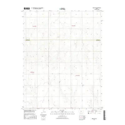
2015 Map of Rozel SW
USGS Topo · Published 2015About this map
The PAWNEE CO EDWARDS CO line cuts across this section of central Kansas, marking a landscape defined by its orderly grid of section roads and quiet rural landmarks. The topography shows the subtle drainages and elevation shifts typical of the High Plains, where the terrain is organized by the Public Land Survey System into townships like t23s r19w and t22s r20w. This 2015 survey reflects a long-standing agricultural pattern, with the vast majority of the area dedicated to open fields and dry-land farming.
Find a feature on this map
14 named features on this map. Tap any name to fly to it.
Don’t see what you’re looking for? This feature index may not catch every label — zoom into the map to look around manually.
Map Details
Editions of this 2015 Rozel SW Map
This is the sole edition of this map. No revisions or reprints were ever made.
Other maps of this area

1889 · Larned
USGS Topo · 1:125,000

1889 · Kinsley
USGS Topo · 1:125,000

1891 · Larned
USGS Topo · 1:125,000

1892 · Ness
USGS Topo · 1:125,000

1892 · Kinsley
USGS Topo · 1:125,000

1892 · Spearville
USGS Topo · 1:125,000

1894 · Spearville
USGS Topo · 1:125,000

1894 · Kinsley
USGS Topo · 1:125,000

1894 · Ness
USGS Topo · 1:125,000

1955 · Great Bend
USGS Topo · 1:250,000