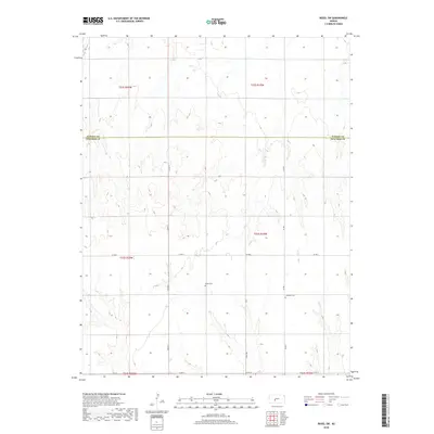
2018 Map of Rozel SW
USGS Topo · Published 2018About this map
The Pawnee Co Edwards Co line divides this agricultural landscape, where the Jeffersonian grid of the Public Land Survey System remains the primary structural element of the terrain. In this section of central Kansas, the landscape is defined by its drainage patterns and the strict geometry of rural roads like 90th Ave and Co Rd 6. Genealogy and local history are anchored by two specific sites: the Salem Cem, situated centrally near the intersection of several sections, and the Lutheran Cem to the east. These small, isolated burial grounds often represent the last remaining physical evidence of the early families and congregations that settled this prairie region. The lack of large municipal centers on the map highlights a purely agrarian economy dependent on a network of county roads like Co Rd 13 and Co Rd 1 to connect dispersed farmsteads.
Find a feature on this map
14 named features on this map. Tap any name to fly to it.
Don’t see what you’re looking for? This feature index may not catch every label — zoom into the map to look around manually.
Map Details
Editions of this 2018 Rozel SW Map
This is the sole edition of this map. No revisions or reprints were ever made.
Other maps of this area

1889 · Larned
USGS Topo · 1:125,000

1889 · Kinsley
USGS Topo · 1:125,000

1891 · Larned
USGS Topo · 1:125,000

1892 · Ness
USGS Topo · 1:125,000

1892 · Kinsley
USGS Topo · 1:125,000

1892 · Spearville
USGS Topo · 1:125,000

1894 · Spearville
USGS Topo · 1:125,000

1894 · Kinsley
USGS Topo · 1:125,000

1894 · Ness
USGS Topo · 1:125,000

1955 · Great Bend
USGS Topo · 1:250,000