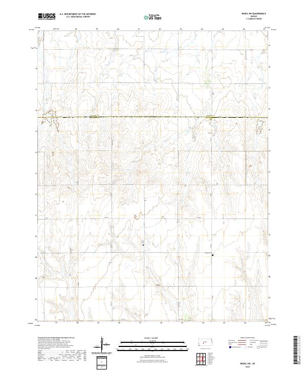
2022 Map of Rozel SW
USGS Topo · Published 2022About this map
The borderlands of Pawnee and Edwards Counties in western Kansas are defined by a rhythmic landscape of drainage patterns and high plains agricultural surveying. This 2022 edition captures the rural character of the region, where the grid of county roads such as Co Rd 6 and Co Rd 13 dictates the movement of people and commerce. A central cultural anchor is the presence of the Salem Cem and Lutheran Cem, which serve as quiet markers of the community's ancestral ties to this land. The cartography highlights the precision of the Public Land Survey System, showing the townships and ranges that have organized this territory since the era of homesteading. The terrain is marked by gentle elevation changes and seasonal watercourses that flow between the arterial corridors of Co Rd 1 and 90th Ave.
Find a feature on this map
14 named features on this map. Tap any name to fly to it.
Don’t see what you’re looking for? This feature index may not catch every label — zoom into the map to look around manually.
Map Details
Editions of this 2022 Rozel SW Map
This is the sole edition of this map. No revisions or reprints were ever made.
Other maps of this area

1889 · Larned
USGS Topo · 1:125,000

1889 · Kinsley
USGS Topo · 1:125,000

1891 · Larned
USGS Topo · 1:125,000

1892 · Ness
USGS Topo · 1:125,000

1892 · Kinsley
USGS Topo · 1:125,000

1892 · Spearville
USGS Topo · 1:125,000

1894 · Spearville
USGS Topo · 1:125,000

1894 · Kinsley
USGS Topo · 1:125,000

1894 · Ness
USGS Topo · 1:125,000

1955 · Great Bend
USGS Topo · 1:250,000