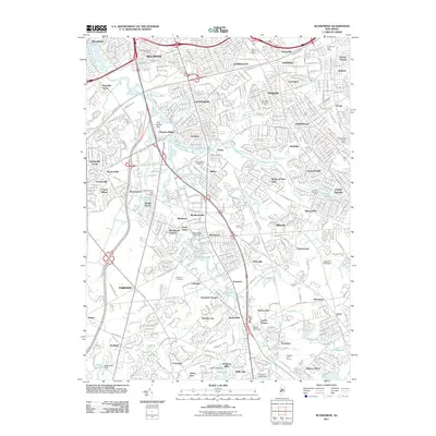
2011 Map of Runnemede
USGS Topo · Published 2011About this map
Big Timber Creek and its many branches, including the North Branch and South Branch, define the suburban landscape of Camden County in the early 21st century. The map captures a dense network of residential developments and historic communities like Bellmawr, Runnemede, and Barrington along the New Jersey Turnpike. Genealogists will find significant value in the documentation of several local burial grounds, such as Mount Peace Cemetery and New Saint Marys Cemetery. Local aviation history is represented by the RCA Landing Strip near Clements Bridge, while numerous small impoundments and dams, including Almonesson Lake Dam and Bells Lake Dam, illustrate the engineered water management throughout this established South Jersey corridor.
Find a feature on this map
91 named features on this map. Tap any name to fly to it.
Don’t see what you’re looking for? This feature index may not catch every label — zoom into the map to look around manually.
Map Details
Editions of this 2011 Runnemede Map
This is the sole edition of this map. No revisions or reprints were ever made.
Other maps of this area

1888 · Mount Holly
USGS Topo · 1:62,500

1890 · Hammonton
USGS Topo · 1:62,500

1890 · Glassboro
USGS Topo · 1:62,500

1891 · Philadelphia
USGS Topo · 1:62,500

1894 · Hammonton
USGS Topo · 1:62,500

1894 · Mount Holly
USGS Topo · 1:62,500

1894 · Philadelphia
USGS Topo · 1:62,500

1896 · Philadelphia
USGS Topo · 1:62,500

1898 · Glassboro
USGS Topo · 1:62,500

1898 · Philadelphia
USGS Topo · 1:62,500
Featured Places
- Cherry Hill Township, NJ
- Washington Township, NJ
- Deptford Township, NJ
- Voorhees Township, NJ
- Lindenwold, NJ