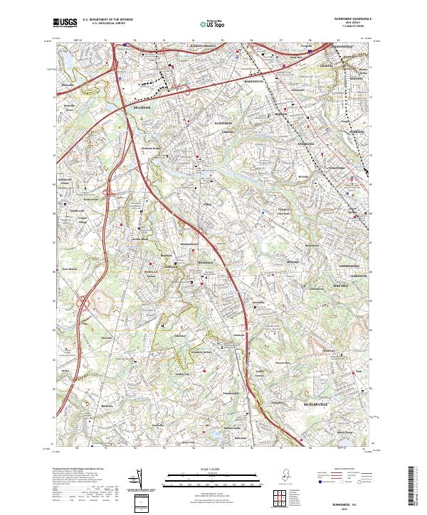
2023 Map of Runnemede
USGS Topo · Published 2023About this map
Big Timber Creek and its many branches, including Little Timber Creek, Beaver Brook, and Otter Brook, carve through the suburban landscape of South Jersey. The map details a dense network of early 21st-century communities such as Runnemede, Bellmawr, and Magnolia, where the historical weight of the region is evident in its numerous cemeteries and burial grounds. From the Pierce Family Burial Ground to the Deptford Strangers Burial Ground, these sites provide a rich resource for genealogical research.
Find a feature on this map
157 named features on this map. Tap any name to fly to it.
Don’t see what you’re looking for? This feature index may not catch every label — zoom into the map to look around manually.
Map Details
Editions of this 2023 Runnemede Map
This is the sole edition of this map. No revisions or reprints were ever made.
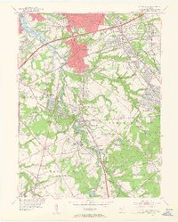
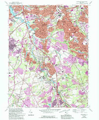
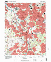
Historical Maps of Mechanicsville Through Time
4 maps found
Featured Locations
- Washington Township, NJ
- Deptford Township, NJ
- Cherry Hill Township, NJ
- Voorhees Township, NJ
- Lindenwold, NJ