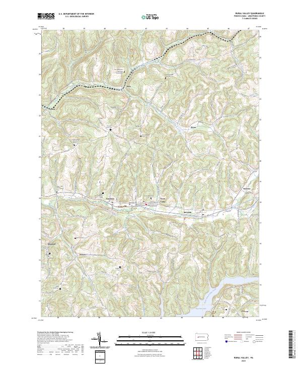
2023 Map of Rural Valley
USGS Topo · Published 2023About this map
Rural Valley and the neighboring community of Yatesboro sit along the corridor of Cowanshannock Creek, where the Great Shamokin Path Trail follows the valley floor. This area of Armstrong County is defined by its deep ancestral roots, evidenced by numerous small burial grounds and family-named landmarks like the Schrecengost Farm Cem. The landscape transitions from the developed settlements of Meredith and Smeltzer in the central valley to the high ridges surrounding Echo and Bryan in the north. To the south, the terrain descends toward the waters of Keystone Lake near the community of Atwood. The mapping of small hamlets like Blanco and Oscar alongside various denominational landmarks, including the Echo Methodist Episcopal Church, reveals a persistent rural settlement pattern that has endured through the early 21st century.
Find a feature on this map
40 named features on this map. Tap any name to fly to it.
Don’t see what you’re looking for? This feature index may not catch every label — zoom into the map to look around manually.
Map Details
Editions of this 2023 Rural Valley Map
This is the sole edition of this map. No revisions or reprints were ever made.
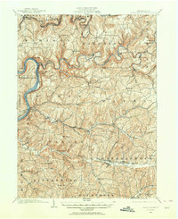
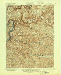
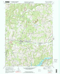
Historical Maps of Boggs Township Through Time
4 maps found