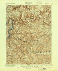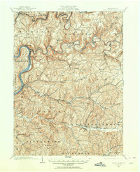
1901 Map of Rural Valley
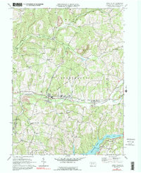
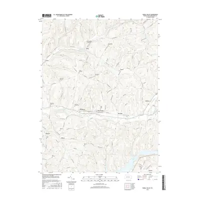
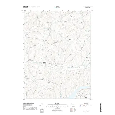
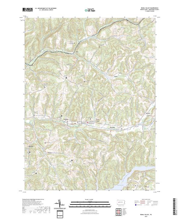
USGS Topo · Published 1964About this map
Mahoning Furnace, McCrea Furnace, and Pine Furnace anchor a landscape defined by early industrial activity along the winding waterways of Armstrong and Clarion counties. At the turn of the century, these iron furnaces were central to the local economy, situated near the banks of Mahoning Creek and Redbank Creek. The terrain is characterized by a dense network of deep runs and creeks, including Scrubgrass Creek and Cowanshannock Creek, which carve through the high ridges between the Allegheny River and the interior plateaus. Small hamlets like Goheenville, Eddyville, and Putneyville are connected by rugged wagon roads and early rail lines, such as the Pennsylvania R.R. (Buffalo and Allegheny Valley Division), which follows the riverbank. This survey captures the rural transition of western Pennsylvania before modern development altered these tight-knit communities and industrial sites.
Find a feature on this map
79 named features on this map. Tap any name to fly to it.
Don’t see what you’re looking for? This feature index may not catch every label — zoom into the map to look around manually.
Map Details
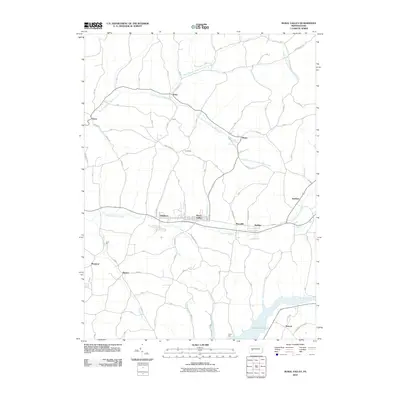
Editions of this 1901 Rural Valley Map
2 editions found

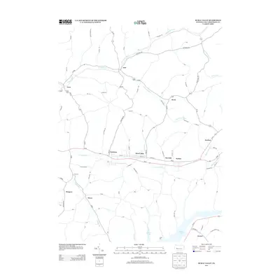
Historical Maps of Mahoning Through Time
8 maps found