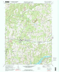
1969 Map of Rural Valley
USGS Topo · Published 1991About this map
Cowanshannock Creek defines the central axis of this Armstrong County landscape, where the neighboring settlements of Yatesboro, Rural Valley, and NuMine form a continuous string of industrial and residential activity. The area reflects a late-twentieth-century economy built on extraction and transport, evidenced by numerous gas wells and several Strip Mines that dot the hillsides. The Baltimore and Ohio railroad corridor follows the creek, providing the necessary infrastructure for the local mining operations, including a prominent Mine Dump near NuMine.
Find a feature on this map
33 named features on this map. Tap any name to fly to it.
Don’t see what you’re looking for? This feature index may not catch every label — zoom into the map to look around manually.
Map Details
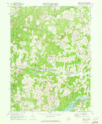
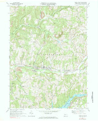
Editions of this 1969 Rural Valley Map
3 editions found
Other maps of this area

1901 · Rural Valley
USGS Topo · 1:62,500

1902 · Indiana
USGS Topo · 1:62,500

1902 · Elders Ridge
USGS Topo · 1:62,500

1903 · Rural Valley
USGS Topo · 1:62,500

1904 · Elders Ridge
USGS Topo · 1:62,500

1909 · Smicksburg
USGS Topo · 1:62,500

1938 · Smicksburg
USGS Topo · 1:62,500

1939 · Smicksburg
USGS Topo · 1:62,500

1953 · Pittsburgh
USGS Topo · 1:250,000

1954 · Pittsburgh
USGS Topo · 1:250,000