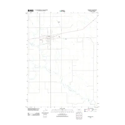
2011 Map of Rushville
USGS Topo · Published 2011About this map
Rushville serves as the central hub of this Sheridan County landscape, where the rectilinear grid of the town site meets the winding paths of Rush Creek and Hay Springs Creek. The community layout is anchored by the Rushville Post Office and local landmarks such as the Sand Ridge Golf Course and Modisett Airport. The transition from town to prairie is marked by industry and infrastructure, with roads like Sale Barn Rd, Old Rendering Plant Rd, and Old Dump Rd pointing toward the working-life history of the area.
Find a feature on this map
25 named features on this map. Tap any name to fly to it.
Don’t see what you’re looking for? This feature index may not catch every label — zoom into the map to look around manually.
Map Details
Editions of this 2011 Rushville Map
This is the sole edition of this map. No revisions or reprints were ever made.
Other maps of this area

1955 · Alliance
USGS Topo · 1:250,000

1957 · Alliance
USGS Topo · 1:250,000

1958 · Alliance
USGS Topo · 1:250,000

1960 · Hay Springs SE
USGS Topo · 1:24,000

1966 · Rushville
USGS Topo · 1:24,000

1966 · Rushville SW
USGS Topo · 1:24,000

1966 · Hay Springs NE
USGS Topo · 1:24,000

1969 · Clinton
USGS Topo · 1:24,000

1969 · Clinton SW
USGS Topo · 1:24,000

1969 · Rushville SE
USGS Topo · 1:24,000