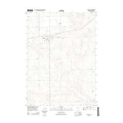
2014 Map of Rushville
USGS Topo · Published 2014About this map
Rushville serves as the focal point of this Sheridan County landscape, where the town grid meets the wide-reaching agricultural plains of the Nebraska Panhandle. The transport network is defined by the intersection of Us-20 and Ne-250, providing a window into the regional connectivity of the early 21st century. Beyond the residential streets, several landmarks provide historical and social context for the community, including the Saint Marys Cem and Fairview Cem located east of the main town site.
Find a feature on this map
27 named features on this map. Tap any name to fly to it.
Don’t see what you’re looking for? This feature index may not catch every label — zoom into the map to look around manually.
Map Details
Editions of this 2014 Rushville Map
This is the sole edition of this map. No revisions or reprints were ever made.
Other maps of this area

1955 · Alliance
USGS Topo · 1:250,000

1957 · Alliance
USGS Topo · 1:250,000

1958 · Alliance
USGS Topo · 1:250,000

1960 · Hay Springs SE
USGS Topo · 1:24,000

1966 · Rushville
USGS Topo · 1:24,000

1966 · Rushville SW
USGS Topo · 1:24,000

1966 · Hay Springs NE
USGS Topo · 1:24,000

1969 · Clinton
USGS Topo · 1:24,000

1969 · Clinton SW
USGS Topo · 1:24,000

1969 · Rushville SE
USGS Topo · 1:24,000