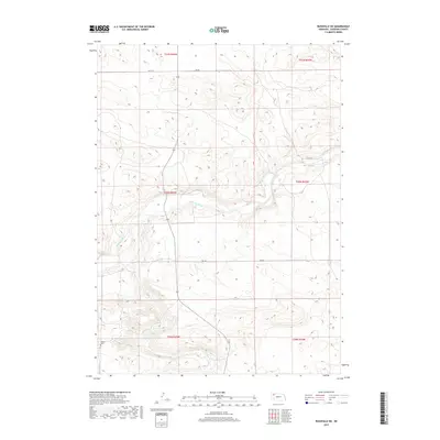
2017 Map of Rushville SW
USGS Topo · Published 2017About this map
The Niobrara River carves a central path through this Sheridan County landscape, defining the local topography and drainage patterns. To the south, Pine Cr winds through the sandhills terrain, eventually feeding into the larger river system. This region of Nebraska remains largely open and rural, dominated by the traditional township and range grid system. Genealogists and local historians will find the Beguin Cem located near the southwestern corner of the map, a quiet marker of the families who settled this high plains country. The area's transport network consists primarily of section-line routes and trails, including 520 Th Rd, 470 Trl, and 292 Nd Trl, which connect the isolated ranchlands and rolling hills characteristic of the Nebraska Panhandle.
Find a feature on this map
13 named features on this map. Tap any name to fly to it.
Don’t see what you’re looking for? This feature index may not catch every label — zoom into the map to look around manually.
Map Details
Editions of this 2017 Rushville SW Map
This is the sole edition of this map. No revisions or reprints were ever made.
Other maps of this area
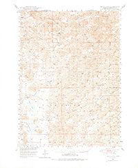
1948 · Twin Lakes
USGS Topo · 1:62,500
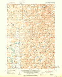
1950 · Twin Lakes
USGS Topo · 1:62,500
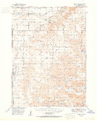
1950 · Skunk Lake
USGS Topo · 1:62,500

1955 · Alliance
USGS Topo · 1:250,000

1957 · Alliance
USGS Topo · 1:250,000

1958 · Alliance
USGS Topo · 1:250,000
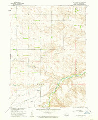
1960 · Hay Springs SE
USGS Topo · 1:24,000
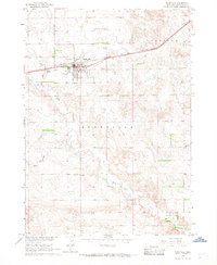
1966 · Rushville
USGS Topo · 1:24,000
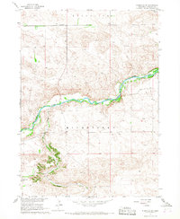
1966 · Rushville SW
USGS Topo · 1:24,000
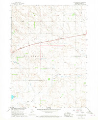
1966 · Hay Springs NE
USGS Topo · 1:24,000