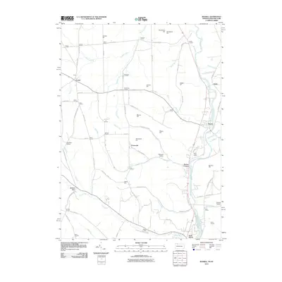
2010 Map of Russell
USGS Topo · Published 2010About this map
Conewango Creek and its many tributaries, including Johnny Run and Akeley Run, define the rolling topography of this borderland region between Pennsylvania and New York. The landscape is characterized by a dense network of crossroads settlements and family-named corners such as Babcock Corners, Fairbanks Corners, and Hatch Corners. These small hubs, alongside established towns like Russell and Lander, reflect a long-standing pattern of rural development centered around farming and local industry.
Find a feature on this map
80 named features on this map. Tap any name to fly to it.
Don’t see what you’re looking for? This feature index may not catch every label — zoom into the map to look around manually.
Map Details
Editions of this 2010 Russell Map
This is the sole edition of this map. No revisions or reprints were ever made.
Other maps of this area

1904 · Chautaqua
USGS Topo · 1:62,500

1905 · Jamestown
USGS Topo · 1:62,500

1906 · Warren
USGS Topo · 1:62,500

1907 · Warren
USGS Topo · 1:62,500

1908 · Warren
USGS Topo · 1:62,500

1926 · Youngsville
USGS Topo · 1:62,500

1929 · Youngsville
USGS Topo · 1:62,500

1941 · Chautauqua
USGS Topo · 1:62,500

1942 · Jamestown
USGS Topo · 1:62,500

1943 · Youngsville
USGS Topo · 1:62,500