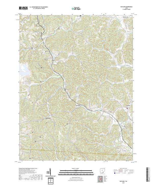
2023 Map of Rutland
USGS Topo · Published 2023About this map
Leading Creek and its many tributaries, including Grass Run, Dexter Run, and Malloons Creek, carve through the landscape of western Meigs County. The area is defined by its small, scattered settlements and an extensive network of family cemeteries, such as Pearson Cem, Vonschritz Cem, and Hugg Cem, which speak to the deep genealogical roots of this Ohio valley. Industrial activity is centered on the Meigs Mine Number One and its associated Meigs Mine Number One Water Supply Reservoir, located just west of Dexter. The map captures a rural township structure where small villages like Langsville and Rutland serve as local anchors along historic corridors such as Co Hwy 17 and New Lima Rd. This recent survey preserves the modern configuration of these historic communities and their transition into the Gallia County line to the south.
Find a feature on this map
114 named features on this map. Tap any name to fly to it.
Don’t see what you’re looking for? This feature index may not catch every label — zoom into the map to look around manually.
Map Details
Editions of this 2023 Rutland Map
This is the sole edition of this map. No revisions or reprints were ever made.
Other maps of this area

1905 · Wilkesville
USGS Topo · 1:62,500

1906 · Bidwell
USGS Topo · 1:62,500

1907 · Pomeroy
USGS Topo · 1:62,500

1908 · Bidwell
USGS Topo · 1:62,500

1908 · Point Pleasant
USGS Topo · 1:62,500

1908 · Wilkesville
USGS Topo · 1:62,500

1926 · Point Pleasant
USGS Topo · 1:62,500

1929 · Point Pleasant
USGS Topo · 1:62,500

1947 · Columbus
USGS Topo · 1:250,000

1957 · Huntington
USGS Topo · 1:250,000