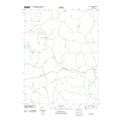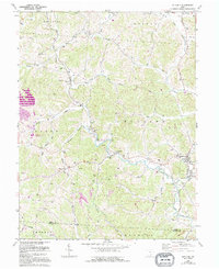
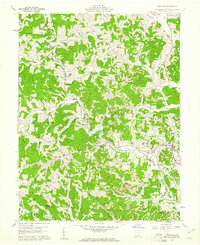
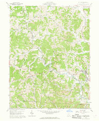
1960 Map of Rutland
USGS Topo · Published 1995About this map
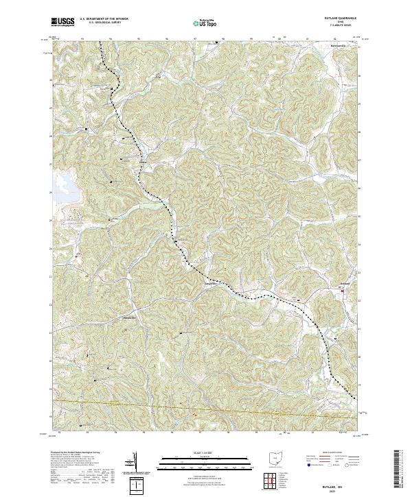
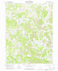
The winding course of Leading Creek defines this section of Meigs County, carving through a landscape of sharp ridges and narrow valleys where small settlements like Rutland and Langsville took root. The map reveals a deeply etched rural geography, where family names are anchored to the land through numerous small burial grounds such as Coy Hill Cem and Vonschriltz Cem. These sites, often positioned on high ground overlooking family holdings, provide critical data points for genealogists tracking early residents of the Salem and Rutland townships.
Find a feature on this map
46 named features on this map. Tap any name to fly to it.
Don’t see what you’re looking for? This feature index may not catch every label — zoom into the map to look around manually.
Map Details
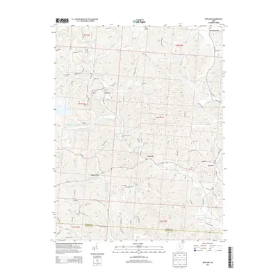
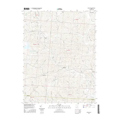
Editions of this 1960 Rutland Map
4 editions found
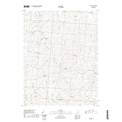
Historical Maps of Rutland Through Time
6 maps found