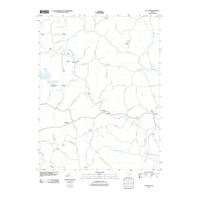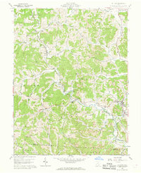
1960 Map of Rutland
USGS Topo · Published 1968About this map
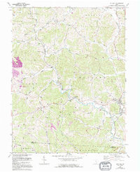
Leading Creek and its many tributaries, including Mulloons Creek and Parker Run, carve through the townships of Salem and Rutland in this 1960 survey. The landscape is defined by the heavy footprint of the coal industry, with numerous Strip Mines and active extraction sites dotting the ridges between Langsville and Rutland. This industrial activity exists alongside a deeply rooted rural community, evidenced by a dense network of family cemeteries such as Vonschritz Cem, Golden Cem, and McCaulley Cem. The New York Central railroad provides the primary transportation spine for the region's mineral wealth, passing through settlements like Dexter and past the Old Dexter Ch. The map also reveals the historical footprint of the Ohio Company Purchase through the presence of dotted land lines and private subdivisions.
Find a feature on this map
43 named features on this map. Tap any name to fly to it.
Don’t see what you’re looking for? This feature index may not catch every label — zoom into the map to look around manually.
Map Details
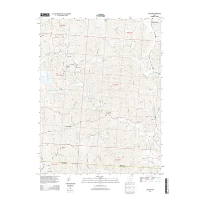
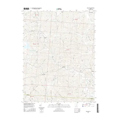
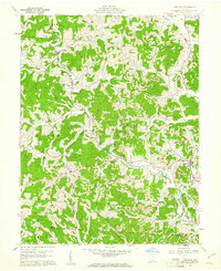
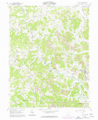
Editions of this 1960 Rutland Map
4 editions found
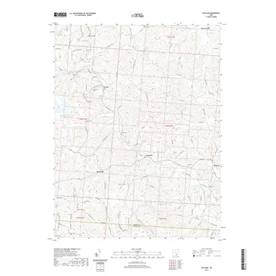
Historical Maps of Rutland Through Time
6 maps found