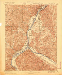
1926 Map of Point Pleasant
USGS Topo · Published 1958About this map
The confluence of the Ohio River and Kanawha River anchors this mid-1920s survey, showing a landscape defined by industrial development and critical river crossings. Point Pleasant sits as the central hub of trade and transport, where the Baltimore and Ohio and New York Central railroads meet the water. Specialized institutions mark the era’s social geography, including the State Industrial School near West Columbia and the Epileptic Home in Gallipolis. Rural life is meticulously documented through dozens of local schoolhouses like Mission Ridge School and Eightmile School, alongside important logistical features like Gallipolis Ferry and Lock No 24. This map records a high-density riverfront economy just before mid-century changes altered the pace of travel and the prominence of small settlements like Maggie and Brosia Po.
Find a feature on this map
110 named features on this map. Tap any name to fly to it.
Don’t see what you’re looking for? This feature index may not catch every label — zoom into the map to look around manually.
Map Details
Editions of this 1926 Point Pleasant Map
This is the sole edition of this map. No revisions or reprints were ever made.
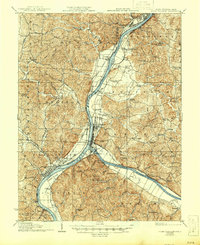
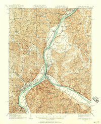
Historical Maps of Point Pleasant Through Time
3 maps found