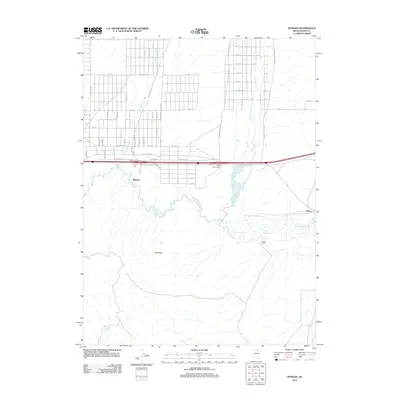
2012 Map of Ryndon
USGS Topo · Published 2012About this map
Ryndon serves as the primary focal point of this Nevada landscape, situated where the high desert meets the meandering path of the Humboldt River. The map reveals a distinct grid of residential roads north of the interstate, with many streets bearing names such as Coal Mine Rd, Iroquois, and Goldrush Dr, reflecting the area's local development patterns. To the east, the smaller settlement of Elburz sits near the confluence where the North Fork Humboldt River joins the main branch, creating a complex riparian network amidst the arid basin.
Find a feature on this map
53 named features on this map. Tap any name to fly to it.
Don’t see what you’re looking for? This feature index may not catch every label — zoom into the map to look around manually.
Map Details
Editions of this 2012 Ryndon Map
This is the sole edition of this map. No revisions or reprints were ever made.
Other maps of this area

1935 · Halleck
USGS Topo · 1:125,000

1955 · Wells
USGS Topo · 1:250,000

1955 · Elko
USGS Topo · 1:250,000

1957 · Elko East
USGS Topo · 1:24,000

1958 · Wells
USGS Topo · 1:250,000

1958 · Elko
USGS Topo · 1:250,000

1961 · Wells
USGS Topo · 1:250,000

1962 · Elko
USGS Topo · 1:250,000

1962 · Boyd Reservoir
USGS Topo · 1:24,000

1962 · Ryndon
USGS Topo · 1:24,000