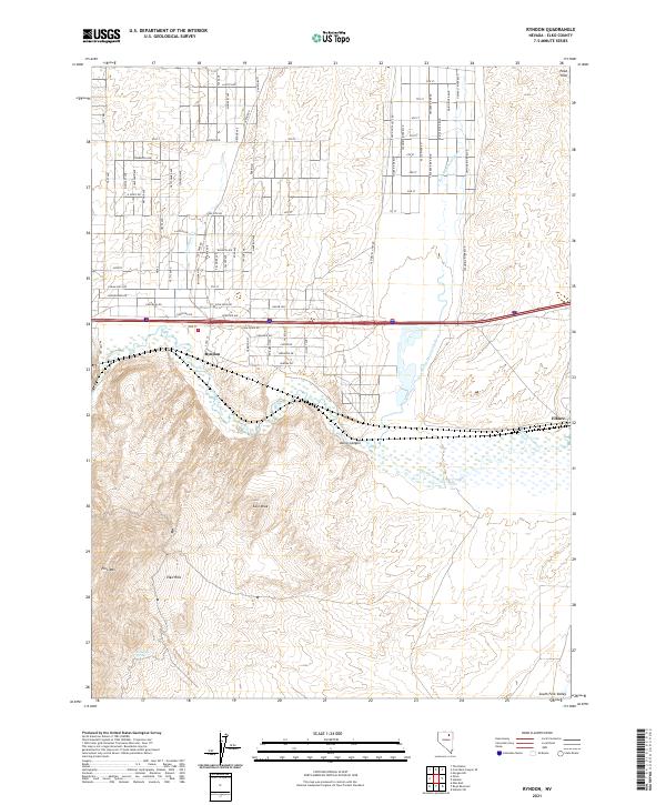
2021 Map of Ryndon
USGS Topo · Published 2021About this map
Ryndon and Elburz sit at the northern edge of the Elko Hills, where the high desert terrain of the t36n r56e and t36n r57e townships meet the valley floors. This area is defined by the convergence of major waterways, including the Humboldt River and the North Fork Humboldt River, which create a complex network of wetlands and seasonal drainages. To the south, the landscape rises toward the prominent peaks of Elko Mtn and East Peak, bisected by the narrow passage of Osino Canyon.
Find a feature on this map
76 named features on this map. Tap any name to fly to it.
Don’t see what you’re looking for? This feature index may not catch every label — zoom into the map to look around manually.
Map Details
Editions of this 2021 Ryndon Map
This is the sole edition of this map. No revisions or reprints were ever made.
Other maps of this area

1935 · Halleck
USGS Topo · 1:125,000

1955 · Wells
USGS Topo · 1:250,000

1955 · Elko
USGS Topo · 1:250,000

1957 · Elko East
USGS Topo · 1:24,000

1958 · Wells
USGS Topo · 1:250,000

1958 · Elko
USGS Topo · 1:250,000

1961 · Wells
USGS Topo · 1:250,000

1962 · Elko
USGS Topo · 1:250,000

1962 · Boyd Reservoir
USGS Topo · 1:24,000

1962 · Ryndon
USGS Topo · 1:24,000