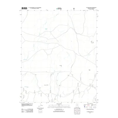
2011 Map of S P Mountain
USGS Topo · Published 2011About this map
S P Crater and S P Mountain define this high-altitude volcanic landscape in Coconino County, characterized by prominent cinder cones and expansive dry washes. The terrain is marked by significant geologic features including Colton Crater and Antelope Hill, which rise above a network of drainage channels like Cedar Wash. The human footprint in this arid environment is defined by a complex system of water management for livestock and wildlife, evidenced by numerous named stock tanks such as S P Tank, Mud Hen Tank, and Missouri Bill Tank.
Find a feature on this map
24 named features on this map. Tap any name to fly to it.
Don’t see what you’re looking for? This feature index may not catch every label — zoom into the map to look around manually.
Map Details
Editions of this 2011 S P Mountain Map
This is the sole edition of this map. No revisions or reprints were ever made.
Other maps of this area

1886 · San Francisco Mtns
USGS Topo · 1:250,000

1891 · San Francisco Mtns
USGS Topo · 1:250,000

1894 · San Francisco Mtns
USGS Topo · 1:250,000

1899 · San Francisco Mtns
USGS Topo · 1:250,000

1908 · Flagstaff
USGS Topo · 1:125,000

1912 · Flagstaff
USGS Topo · 1:125,000

1947 · Flagstaff
USGS Topo · 1:250,000

1954 · Flagstaff
USGS Topo · 1:250,000

1958 · Flagstaff
USGS Topo · 1:250,000

1960 · Flagstaff
USGS Topo · 1:250,000