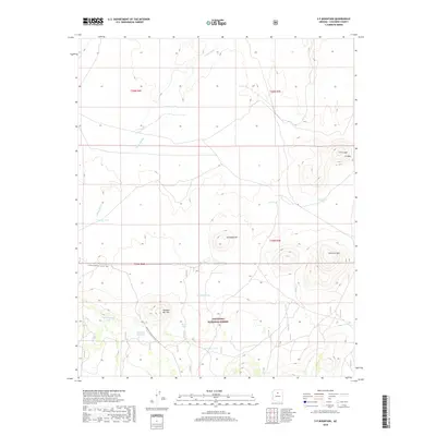
2018 Map of S P Mountain
USGS Topo · Published 2018About this map
The volcanic landscape of the Coconino National Forest defines this portion of Arizona, dominated by the prominent peaks of S P Mtn and the nearby S P Crater. This survey captures a terrain shaped by geological forces, where the massive depression of Colton Crater sits east of several smaller rises like Antelope Hill and Missouri Bill Hill. The arid environment is punctuated by a network of water collection points essential for ranching and wildlife, including Missouri Bill Tank, Mud Hen Tank, and Aso Tank.
Find a feature on this map
26 named features on this map. Tap any name to fly to it.
Don’t see what you’re looking for? This feature index may not catch every label — zoom into the map to look around manually.
Map Details
Editions of this 2018 S P Mountain Map
This is the sole edition of this map. No revisions or reprints were ever made.
Other maps of this area

1886 · San Francisco Mtns
USGS Topo · 1:250,000

1891 · San Francisco Mtns
USGS Topo · 1:250,000

1894 · San Francisco Mtns
USGS Topo · 1:250,000

1899 · San Francisco Mtns
USGS Topo · 1:250,000

1908 · Flagstaff
USGS Topo · 1:125,000

1912 · Flagstaff
USGS Topo · 1:125,000

1947 · Flagstaff
USGS Topo · 1:250,000

1954 · Flagstaff
USGS Topo · 1:250,000

1958 · Flagstaff
USGS Topo · 1:250,000

1960 · Flagstaff
USGS Topo · 1:250,000