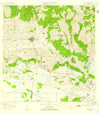
1956 Map of Sabana Grande
USGS Topo · Published 1959About this map
Sabana Grande serves as the central hub of this mid-century survey, surrounded by a landscape defined by sharp transitions from the northern mountains to the southern agricultural plains. The northern half is dominated by rugged barrios like Tabonuco and Frailes, where the Bosque de Susua and Campamento Susua occupy the ridges. Numerous small schools, such as Escuela Collores and Escuela Segunda Unidad de Minillas, are scattered throughout the rural coffee-growing regions, marking the vital community centers of the 1950s.
Find a feature on this map
77 named features on this map. Tap any name to fly to it.
Don’t see what you’re looking for? This feature index may not catch every label — zoom into the map to look around manually.
Map Details
Editions of this 1956 Sabana Grande Map
This is the sole edition of this map. No revisions or reprints were ever made.
Other maps of this area

1937 · San German
USGS Topo · 1:25,000

1937 · Sabana Grande
USGS Topo · 1:25,000
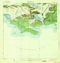
1938 · Guanica
USGS Topo · 1:30,000

1938 · Parguera
USGS Topo · 1:30,000

1941 · San German
USGS Topo · 1:30,000

1941 · Sabana Grande
USGS Topo · 1:30,000

1941 · Rosario
USGS Topo · 1:30,000

1942 · Rosario
USGS Topo · 1:30,000

1946 · Maricao
USGS Topo · 1:30,000

1946 · Yauco
USGS Topo · 1:30,000
Featured Places
- Sabana Grande, Sabana Grande
- Sector Río Loco, Yauco
- Sector El Puente, Sabana Grande
- Sector Papayo, Sabana Grande
- Sector Facio, Yauco