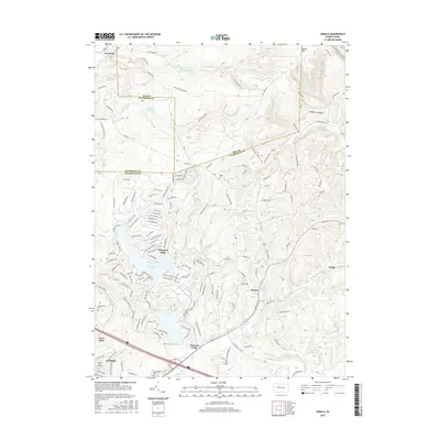
2016 Map of Sabula
USGS Topo · Published 2016About this map
Treasure Lake and its intricate residential street network dominate the central landscape of this western Pennsylvania study, where the borders of Elk, Jefferson, and Clearfield counties converge. The area transitions from the high elevations of Boone Mtn and the secluded Lambskin Hollow in the northeast toward the industrial and educational corridor near Dubois, featuring Triangle Tech Inc-Dubois. This era captures the developed recreational and residential character of the region, contrasted with the traditional rural hamlets of Sabula and Crenshaw. Water management is central to the local geography, evidenced by the Brockway Reservoir on Whetstone Br and the presence of Lake Sabula. Local family history is preserved in several burial sites across the ridges, including Bundy Cem and Conway Cem, while the southern margin shows the suburban growth of Clear Run and the cemetery grounds of Greenwood Cem.
Find a feature on this map
173 named features on this map. Tap any name to fly to it.
Don’t see what you’re looking for? This feature index may not catch every label — zoom into the map to look around manually.
Map Details
Editions of this 2016 Sabula Map
This is the sole edition of this map. No revisions or reprints were ever made.
Other maps of this area

1922 · Du Bois
USGS Topo · 1:62,500

1924 · Du Bois
USGS Topo · 1:62,500

1929 · Penfield
USGS Topo · 1:62,500

1932 · Penfield
USGS Topo · 1:62,500

1940 · Hallton
USGS Topo · 1:48,000

1941 · Ridgway
USGS Topo · 1:62,500

1943 · Hallton
USGS Topo · 1:62,500

1944 · Du Bois
USGS Topo · 1:62,500

1944 · Ridgway
USGS Topo · 1:62,500

1957 · Warren
USGS Topo · 1:250,000