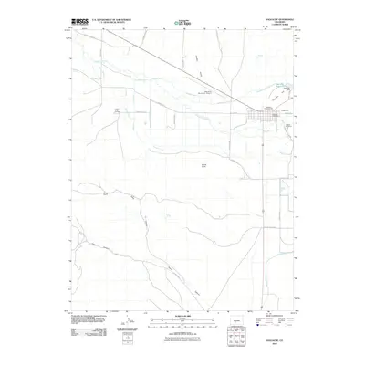
2010 Map of Saguache
USGS Topo · Published 2010About this map
The town of Saguache sits at the northern edge of the San Luis Valley, where the foothills begin to rise toward the high peaks. This 2010 survey reveals a community deeply integrated with its water management, shown through an extensive network of irrigation infrastructure including the Star Ditch, Lawrence Ditch, and the Reservoir Enlargement Ditch which feeds the Saguache Reservoir. These systems support the valley's agricultural character, even as the landscape transitions into the high desert terrain of Devils Knob and Flagpole Hill.
Find a feature on this map
38 named features on this map. Tap any name to fly to it.
Don’t see what you’re looking for? This feature index may not catch every label — zoom into the map to look around manually.
Map Details
Editions of this 2010 Saguache Map
This is the sole edition of this map. No revisions or reprints were ever made.
Other maps of this area

1915 · Del Norte
USGS Topo · 1:125,000

1917 · Del Norte
USGS Topo · 1:125,000

1945 · Durango
USGS Topo · 1:250,000

1953 · Durango
USGS Topo · 1:250,000

1954 · Durango
USGS Topo · 1:250,000

1956 · Montrose
USGS Topo · 1:250,000

1959 · Montrose
USGS Topo · 1:250,000

1960 · Montrose
USGS Topo · 1:250,000

1961 · Durango
USGS Topo · 1:250,000

1963 · Durango
USGS Topo · 1:250,000