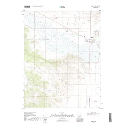
2019 Map of Saguache
USGS Topo · Published 2019About this map
Saguache sits at the northern edge of the San Luis Valley, where the town’s grid meets a complex network of agricultural water management. The 2019 survey shows a landscape defined by its irrigation history, with the Big Meadow Ditch, Star Ditch, and Lawrence Ditch drawing from Saguache Cr to support the surrounding fields. The town serves as a civic anchor, centered on the Saguache County Courthouse and bounded by Hillside Cem to the east.
Find a feature on this map
58 named features on this map. Tap any name to fly to it.
Don’t see what you’re looking for? This feature index may not catch every label — zoom into the map to look around manually.
Map Details
Editions of this 2019 Saguache Map
This is the sole edition of this map. No revisions or reprints were ever made.
Other maps of this area

1915 · Del Norte
USGS Topo · 1:125,000

1917 · Del Norte
USGS Topo · 1:125,000

1945 · Durango
USGS Topo · 1:250,000

1953 · Durango
USGS Topo · 1:250,000

1954 · Durango
USGS Topo · 1:250,000

1956 · Montrose
USGS Topo · 1:250,000

1959 · Montrose
USGS Topo · 1:250,000

1960 · Montrose
USGS Topo · 1:250,000

1961 · Durango
USGS Topo · 1:250,000

1963 · Durango
USGS Topo · 1:250,000