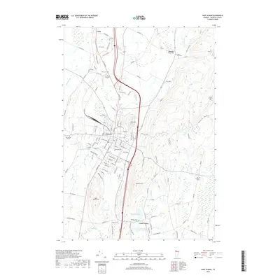
2018 Map of Saint Albans
USGS Topo · Published 2018About this map
St. Albans serves as the focal point of this 2018 topographic study, situated between the prominent heights of Aldis Hill and Saint Albans Hill. The city's dense grid of residential and commercial streets, including Pearl St, Bank St, and Messenger St, transitions into the rural landscapes of Franklin County. For genealogists, the map is remarkably dense with burial sites, documenting family and community history through locations such as Rich Cem, Montefiore Cem, and the Beeman - North Fairfax Cem to the south.
Find a feature on this map
122 named features on this map. Tap any name to fly to it.
Don’t see what you’re looking for? This feature index may not catch every label — zoom into the map to look around manually.
Map Details
Editions of this 2018 Saint Albans Map
This is the sole edition of this map. No revisions or reprints were ever made.
Other maps of this area

1913 · Milton
USGS Topo · 1:48,000

1914 · St. Albans
USGS Topo · 1:48,000

1915 · Milton
USGS Topo · 1:62,500

1916 · St. Albans
USGS Topo · 1:62,500

1920 · Franklin Pond
USGS Topo · 1:62,500

1922 · Enosburg Falls
USGS Topo · 1:48,000

1924 · Enosburg Falls
USGS Topo · 1:62,500

1925 · Mount Mansfield
USGS Topo · 1:48,000

1927 · Mount Mansfield
USGS Topo · 1:62,500

1943 · St. Albans
USGS Topo · 1:62,500