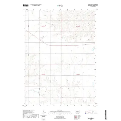
2017 Map of Saint Charles
USGS Topo · Published 2017About this map
St. Charles serves as the central hub of this Gregory County landscape, situated along the St Charles Township Hwy. The terrain is defined by a series of drainage networks, most notably Ponca Cr which meanders through the southern sections. Of particular historical interest is the presence of Oscar Micheaux Cr, a name tied to the legacy of the pioneering African American filmmaker and homesteader who settled in this region of South Dakota. The map captures the organized grid of the Public Land Survey System, including sections within t96n r70w and t95n r69w. Water features like Haisch Lake and Bonesteel Lake are scattered across the township, providing essential catchments in an area otherwise dominated by the winding paths of Burnt Rock Cr.
Find a feature on this map
35 named features on this map. Tap any name to fly to it.
Don’t see what you’re looking for? This feature index may not catch every label — zoom into the map to look around manually.
Map Details
Editions of this 2017 Saint Charles Map
This is the sole edition of this map. No revisions or reprints were ever made.
Other maps of this area

1951 · Butte NW
USGS Topo · 1:24,000

1951 · Naper
USGS Topo · 1:24,000

1955 · Mitchell
USGS Topo · 1:250,000

1955 · O'Neill
USGS Topo · 1:250,000

1959 · O'Neill
USGS Topo · 1:250,000

1959 · Mitchell
USGS Topo · 1:250,000

1964 · Herrick NW
USGS Topo · 1:24,000

1964 · Herrick NE
USGS Topo · 1:24,000

1964 · St. Charles
USGS Topo · 1:24,000

1964 · Whetstone Bay
USGS Topo · 1:24,000