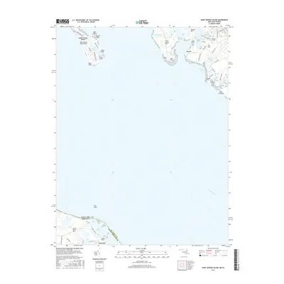
2016 Map of Saint George Island
USGS Topo · Published 2016About this map
Saint George Island and its surrounding Chesapeake Bay tributaries define this maritime landscape in St. Mary's County. To the east, the complex shoreline of Saint Inigoes Neck and Jutland Neck is dissected by Smith Creek and Jutland Creek, revealing a pattern of coastal settlement at Wynne and private aviation at Bonham Airport. The map highlights the proximity of the Maryland and Virginia state line as it cuts through the wide expanse of the Potomac River.
Find a feature on this map
54 named features on this map. Tap any name to fly to it.
Don’t see what you’re looking for? This feature index may not catch every label — zoom into the map to look around manually.
Map Details
Editions of this 2016 Saint George Island Map
This is the sole edition of this map. No revisions or reprints were ever made.
Other maps of this area

1892 · Piney Point
USGS Topo · 1:62,500

1894 · Piney Point
USGS Topo · 1:62,500

1894 · Point Lookout
USGS Topo · 1:62,500

1895 · Nomini
USGS Topo · 1:125,000

1895 · Piney Point
USGS Topo · 1:62,500

1898 · Nomini
USGS Topo · 1:125,000

1898 · St. Marys
USGS Topo · 1:125,000

1901 · Piney Point
USGS Topo · 1:62,500

1906 · St. Marys
USGS Topo · 1:125,000

1912 · Point Lookout
USGS Topo · 1:62,500