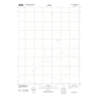
2009 Map of Saint John SW
USGS Topo · Published 2009About this map
Wild Horse Creek and its tributary, Little Wild Horse Creek, define the subtle drainage of this Pawnee County landscape during the early 21st century. The area is dominated by a precise section-line road grid, characteristic of the Great Plains' agricultural layout, anchored by routes such as Saint John Rd and Nw 90th Ave. This survey, produced by the U.S. Geological Survey using 2008 aerial imagery, captures the sparse distribution of rural farmsteads and water management features typical of south-central Kansas. The relationship between the natural meandering of the creeks and the rigid geometry of roads like Nw 80th St and Nw 30th St reflects over a century of land division and land use in the region.
Find a feature on this map
11 named features on this map. Tap any name to fly to it.
Don’t see what you’re looking for? This feature index may not catch every label — zoom into the map to look around manually.
Map Details
Editions of this 2009 Saint John SW Map
This is the sole edition of this map. No revisions or reprints were ever made.
Other maps of this area

1889 · Larned
USGS Topo · 1:125,000

1889 · Kinsley
USGS Topo · 1:125,000

1891 · Great Bend
USGS Topo · 1:125,000

1891 · Larned
USGS Topo · 1:125,000

1892 · Kinsley
USGS Topo · 1:125,000

1892 · Pratt
USGS Topo · 1:125,000

1893 · Great Bend
USGS Topo · 1:125,000

1894 · Kinsley
USGS Topo · 1:125,000

1894 · Pratt
USGS Topo · 1:125,000

1955 · Great Bend
USGS Topo · 1:250,000