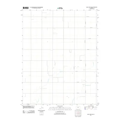
2012 Map of Saint John SW
USGS Topo · Published 2012About this map
Wild Horse Cr and Little Wild Horse Cr wind through this rural section of Pawnee County, defining the drainage patterns of an open agricultural landscape. The area is structured by a precise grid of section roads, including long north-south corridors like 120th Ave and N Dillwyn Rd, which facilitate movement across the Kansas plains. Local routes such as Zook Rd and NW 80th St connect isolated farmsteads and agricultural plots, reflecting the enduring land division system of the American West. The geography here is defined by these subtle watercourses and the utilitarian road network that supports the region's farming heritage.
Find a feature on this map
15 named features on this map. Tap any name to fly to it.
Don’t see what you’re looking for? This feature index may not catch every label — zoom into the map to look around manually.
Map Details
Editions of this 2012 Saint John SW Map
This is the sole edition of this map. No revisions or reprints were ever made.
Other maps of this area

1889 · Larned
USGS Topo · 1:125,000

1889 · Kinsley
USGS Topo · 1:125,000

1891 · Great Bend
USGS Topo · 1:125,000

1891 · Larned
USGS Topo · 1:125,000

1892 · Kinsley
USGS Topo · 1:125,000

1892 · Pratt
USGS Topo · 1:125,000

1893 · Great Bend
USGS Topo · 1:125,000

1894 · Kinsley
USGS Topo · 1:125,000

1894 · Pratt
USGS Topo · 1:125,000

1955 · Great Bend
USGS Topo · 1:250,000