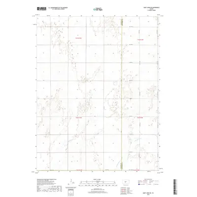
2018 Map of Saint John SW
USGS Topo · Published 2018About this map
The rolling plains of the Kansas landscape are defined by the winding paths of Wild Horse Cr and Little Wild Horse Cr as they traverse the borderlands of Pawnee Co and Stafford Co. This survey illustrates a meticulously surveyed section of the state, where a rigid grid of rural roads—including Zook Rd and Saint John Rd—intersects the natural topography. The drainage patterns of the creeks suggest a subtle varied elevation, contrasting with the straight lines of the township and range boundaries. This map provides a clear picture of the land-use patterns in the early 21st century, showing how the rural infrastructure adapts to the underlying hydrology and the historical Public Land Survey System divisions that have governed this region since the original homestead era.
Find a feature on this map
26 named features on this map. Tap any name to fly to it.
Don’t see what you’re looking for? This feature index may not catch every label — zoom into the map to look around manually.
Map Details
Editions of this 2018 Saint John SW Map
This is the sole edition of this map. No revisions or reprints were ever made.
Other maps of this area

1889 · Larned
USGS Topo · 1:125,000

1889 · Kinsley
USGS Topo · 1:125,000

1891 · Great Bend
USGS Topo · 1:125,000

1891 · Larned
USGS Topo · 1:125,000

1892 · Kinsley
USGS Topo · 1:125,000

1892 · Pratt
USGS Topo · 1:125,000

1893 · Great Bend
USGS Topo · 1:125,000

1894 · Kinsley
USGS Topo · 1:125,000

1894 · Pratt
USGS Topo · 1:125,000

1955 · Great Bend
USGS Topo · 1:250,000