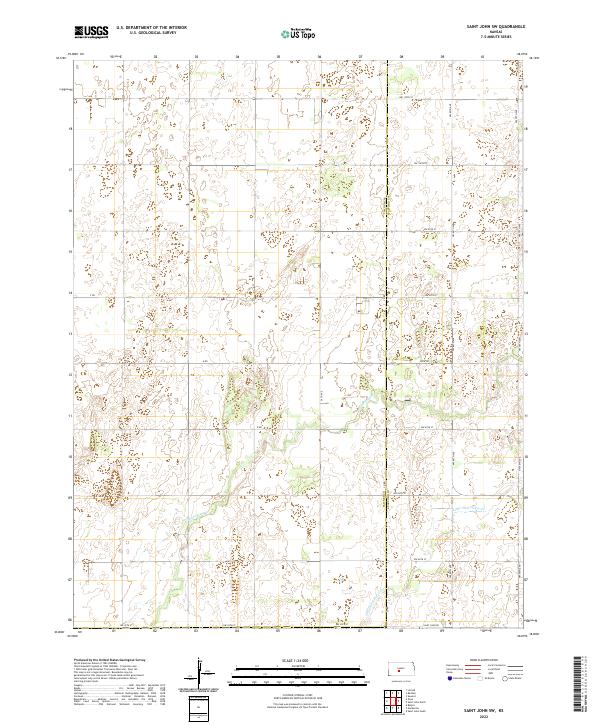
2022 Map of Saint John SW
USGS Topo · Published 2022About this map
Wild Horse Cr and Little Wild Horse Cr carve subtle pathways through the sectioned agricultural lands of Pawnee County and Stafford County. This 2022 survey illustrates the enduring grid of the Public Land Survey System, where modern corridors like Saint John Rd and Zook Rd follow township and range lines established long ago. The landscape is defined by its agrarian regularity, showing the network of local connectors such as 20th Ave and NW 70th Ave that facilitate movement between the dispersed farmsteads of the Kansas prairie. The absence of dense town sites highlights the rural character of the region, focusing instead on the vital watercourses and the road system that supports the local economy.
Find a feature on this map
26 named features on this map. Tap any name to fly to it.
Don’t see what you’re looking for? This feature index may not catch every label — zoom into the map to look around manually.
Map Details
Editions of this 2022 Saint John SW Map
This is the sole edition of this map. No revisions or reprints were ever made.
Other maps of this area

1889 · Larned
USGS Topo · 1:125,000

1889 · Kinsley
USGS Topo · 1:125,000

1891 · Great Bend
USGS Topo · 1:125,000

1891 · Larned
USGS Topo · 1:125,000

1892 · Kinsley
USGS Topo · 1:125,000

1892 · Pratt
USGS Topo · 1:125,000

1893 · Great Bend
USGS Topo · 1:125,000

1894 · Kinsley
USGS Topo · 1:125,000

1894 · Pratt
USGS Topo · 1:125,000

1955 · Great Bend
USGS Topo · 1:250,000