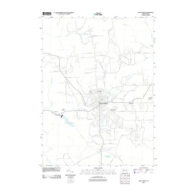
2010 Map of Saint Marys
USGS Topo · Published 2010About this map
Saint Marys sits as a significant hub of Elk County, defined by its complex grid of residential streets and its intersection with a dense network of waterways. The settlement patterns extend into distinct neighborhoods like Lynchville, Grandview, and Kaulmont, reflecting the steady expansion of the community over the late 20th century. High above the town, the Saint Marys Municipal Airport marks the eastern plateau, while the western landscape is shaped by the significant water management of the Laural Run Reservoir.
Find a feature on this map
67 named features on this map. Tap any name to fly to it.
Don’t see what you’re looking for? This feature index may not catch every label — zoom into the map to look around manually.
Map Details
Editions of this 2010 Saint Marys Map
This is the sole edition of this map. No revisions or reprints were ever made.
Other maps of this area

1935 · Mt. Jewett
USGS Topo · 1:48,000

1940 · Mt. Jewett
USGS Topo · 1:62,500

1941 · Benezette
USGS Topo · 1:62,500

1941 · Ridgway
USGS Topo · 1:62,500

1943 · Benezette
USGS Topo · 1:62,500

1944 · Ridgway
USGS Topo · 1:62,500

1948 · Crosby
USGS Topo · 1:62,500

1948 · Wildwood Fire Tower
USGS Topo · 1:24,000
1950 · Wildwood Fire Tower
USGS Topo · 1:24,000

1957 · Warren
USGS Topo · 1:250,000