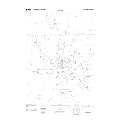
2013 Map of Saint Marys
USGS Topo · Published 2013About this map
Saint Marys sits at the heart of this Elk County landscape, where the confluence of several vital waterways shaped the regional development. The primary settlement is joined by the distinct neighborhoods of Lynchville, Grandview, and Kaulmont, creating a concentrated residential and industrial core surrounded by deeply carved valleys. The drainage system, including Elk Cr and West Cr, dictates the layout of the transportation network, with roads like Benzinger Rd and W Creek Rd following these natural corridors.
Find a feature on this map
194 named features on this map. Tap any name to fly to it.
Don’t see what you’re looking for? This feature index may not catch every label — zoom into the map to look around manually.
Map Details
Editions of this 2013 Saint Marys Map
This is the sole edition of this map. No revisions or reprints were ever made.
Other maps of this area

1935 · Mt. Jewett
USGS Topo · 1:48,000

1940 · Mt. Jewett
USGS Topo · 1:62,500

1941 · Benezette
USGS Topo · 1:62,500

1941 · Ridgway
USGS Topo · 1:62,500

1943 · Benezette
USGS Topo · 1:62,500

1944 · Ridgway
USGS Topo · 1:62,500

1948 · Crosby
USGS Topo · 1:62,500

1948 · Wildwood Fire Tower
USGS Topo · 1:24,000
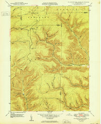
1950 · Wildwood Fire Tower
USGS Topo · 1:24,000

1957 · Warren
USGS Topo · 1:250,000