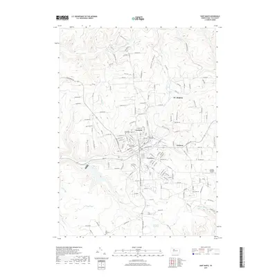
2019 Map of Saint Marys
USGS Topo · Published 2019About this map
St. Marys and its surrounding borough neighborhoods form a dense hub of settlement within the valleys of Elk County, defined largely by the winding course of Elk Creek. This 2019 survey documents a landscape where religious and civic heritage remains deeply embedded, evidenced by the concentration of burial grounds including Saint Marys Catholic Cemetery, Saint Joseph Convent Cemetery, and Saint Marys Protestant Cemetery. The residential expansion into Lynchville, Grandview, and Kaulmont shows the modern footprint of a community traditionally tied to its geography.
Find a feature on this map
161 named features on this map. Tap any name to fly to it.
Don’t see what you’re looking for? This feature index may not catch every label — zoom into the map to look around manually.
Map Details
Editions of this 2019 Saint Marys Map
This is the sole edition of this map. No revisions or reprints were ever made.
Other maps of this area

1935 · Mt. Jewett
USGS Topo · 1:48,000

1940 · Mt. Jewett
USGS Topo · 1:62,500

1941 · Benezette
USGS Topo · 1:62,500

1941 · Ridgway
USGS Topo · 1:62,500

1943 · Benezette
USGS Topo · 1:62,500

1944 · Ridgway
USGS Topo · 1:62,500

1948 · Crosby
USGS Topo · 1:62,500

1948 · Wildwood Fire Tower
USGS Topo · 1:24,000
1950 · Wildwood Fire Tower
USGS Topo · 1:24,000

1957 · Warren
USGS Topo · 1:250,000