
2023 Map of Saint Marys
USGS Topo · Published 2023About this map
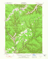
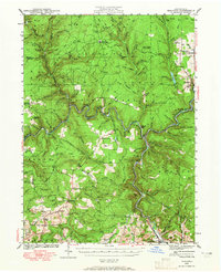
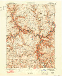
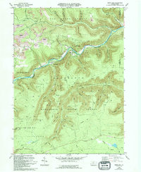
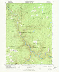
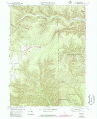
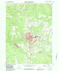
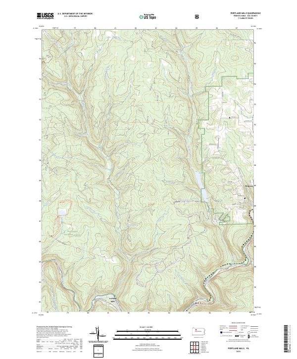
St. Marys serves as the central hub for this Elk County landscape, where the confluence of several small watercourses like Elk Creek and Silver Run defined the early layout of the town and its outlying neighborhoods. The settlement pattern shows dense residential development transitioning into industrial and transport corridors, notably seen in the rail-associated names like Seventy One and the West Creek Recreational Trl. A high concentration of religious and genealogical sites is clustered near the town center, including Saint Mary's Catholic Cem and the Saint Joseph Convent Cem. On the outskirts, the landscape opens toward Kaulmont and Lynchville, while the Laural Run Reservoir and Balsam Swamp highlight the transition into the higher wooded terrain of Hawk Ridge. This survey effectively documents the modern footprint of a historic Pennsylvania mountain town, balancing its industrial roots with the surrounding protected water resources.
Find a feature on this map
166 named features on this map. Tap any name to fly to it.
Don’t see what you’re looking for? This feature index may not catch every label — zoom into the map to look around manually.
Map Details
Editions of this 2023 Saint Marys Map
This is the sole edition of this map. No revisions or reprints were ever made.
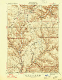
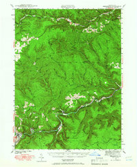
Historical Maps of Kaulmont Through Time
27 maps found
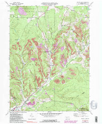
1935 Mt. Jewett
Elk County, PA
1940 Hallton
Elk County, PA
1940 Mt. Jewett
Elk County, PA
1941 Benezette
Elk County, PA

1943 Benezette
Elk County, PA
1943 Hallton
Elk County, PA
1948 Wildwood Fire Tower
Elk County, PA
1950 Wildwood Fire Tower
Elk County, PA
1966 Russell City
Elk County, PA
1969 Dents Run
Elk County, PA

1969 Glen Hazel
Elk County, PA
1969 Hallton
Elk County, PA

1969 Portland Mills
Elk County, PA
1969 Rathbun
Elk County, PA
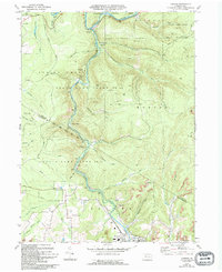
1969 Saint Marys
Elk County, PA
1970 Brandy Camp
Elk County, PA
1970 Carman
Elk County, PA

2023 Brandy Camp
Elk County, PA

2023 Carman
Elk County, PA
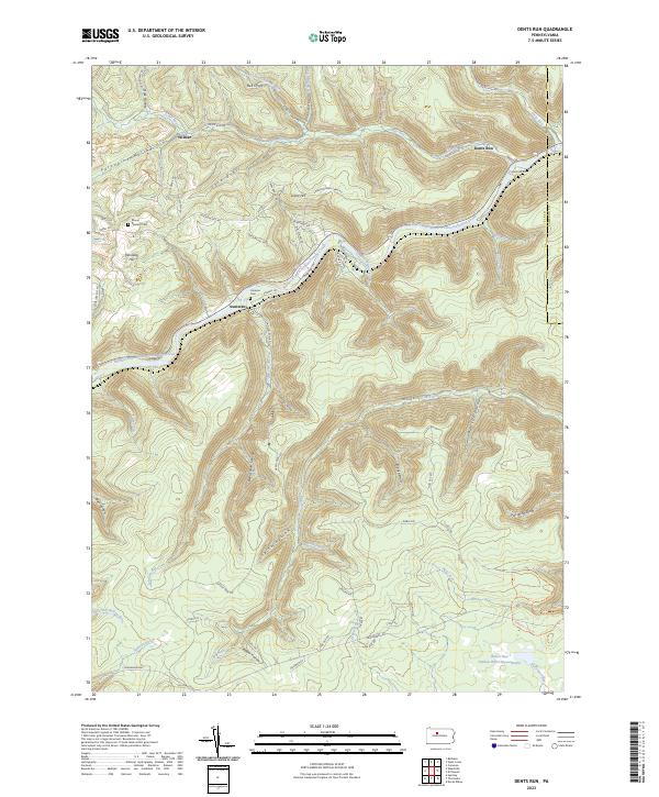
2023 Dents Run
Elk County, PA
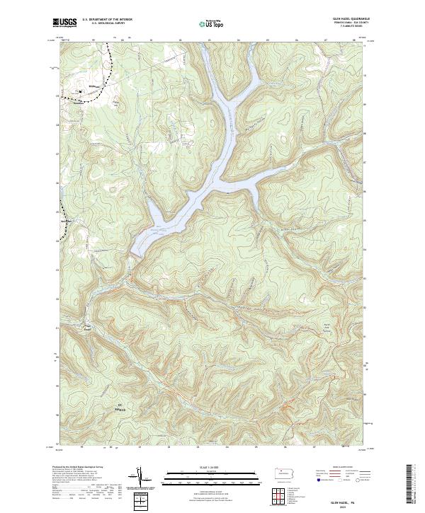
2023 Glen Hazel
Elk County, PA

2023 Hallton
Elk County, PA
2023 Portland Mills
Elk County, PA

2023 Rathbun
Elk County, PA

2023 Russell City
Elk County, PA
2023 Saint Marys
Elk County, PA

2023 Wildwood Fire Tower
Elk County, PA