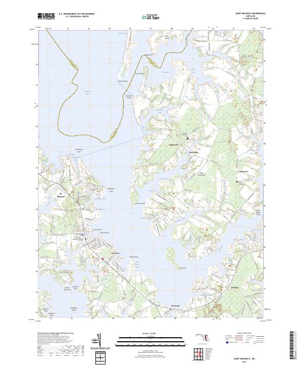
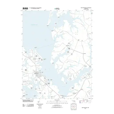
2023 Map of Saint Michaels
USGS Topo · Published 2023About this map
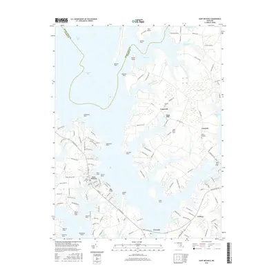
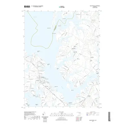
St. Michaels anchors this detailed study of the Talbot County coastline, where the land fragmentizes into numerous necks and points reaching into the Chesapeake Bay and the Miles River. The intricate relationship between land and water is evident in the many protected coves such as Long Haul Creek and Tide Mill Cove, which historical local economies relied upon for transport and industry. Small historic settlements like Tunis Mills, Copperville, and Unionville are mapped alongside significant genealogical sites, including the Saint Stephens Graveyard and Deshields Methodist Cem. The map traces the winding paths of Saint Michaels Rd and Royal Oak Rd, connecting these waterfront communities. Further north, the Wye East River separates the mainland from Wye Island, highlighting the geographic isolation and specialized shoreline development characteristic of Maryland's Eastern Shore.
Find a feature on this map
150 named features on this map. Tap any name to fly to it.
Don’t see what you’re looking for? This feature index may not catch every label — zoom into the map to look around manually.
Map Details
Editions of this 2023 Saint Michaels Map
This is the sole edition of this map. No revisions or reprints were ever made.
Historical Maps of Saint Michaels Through Time
25 maps found
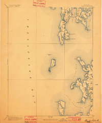
1893 Sharps Island
Talbot County, MD
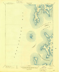
1904 Sharps Island
Talbot County, MD
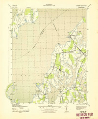
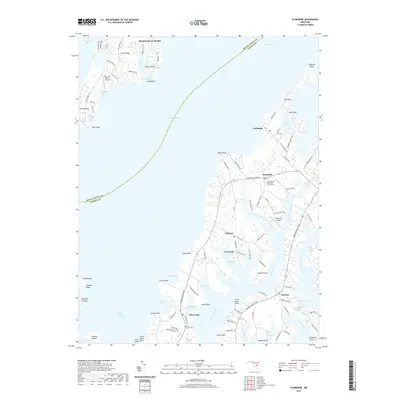
1942 Claiborne
Talbot County, MD
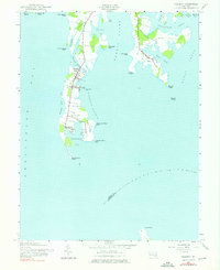
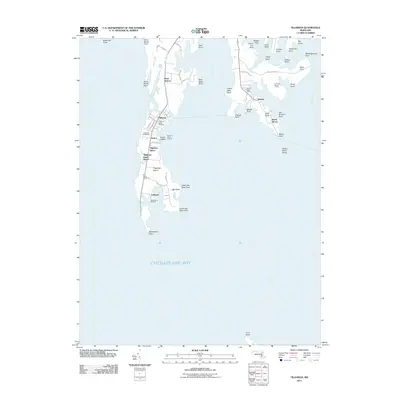
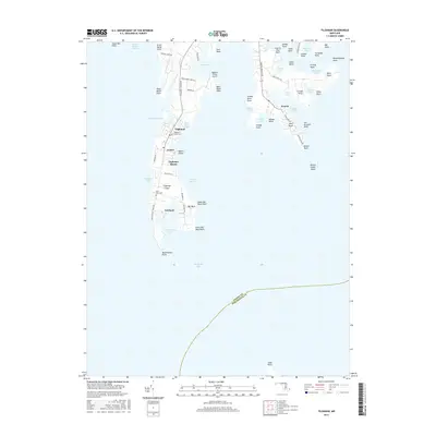
1942 Tilghman
Talbot County, MD
1943 Claiborne
Talbot County, MD
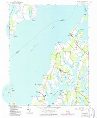
1988 Tilghman
Talbot County, MD
2011 Claiborne
Talbot County, MD
2011 Saint Michaels
Talbot County, MD
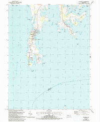
2011 Tilghman
Talbot County, MD
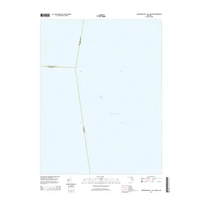
2014 Chesapeake Bay 1 (All Water)
Talbot County, MD
2014 Claiborne
Talbot County, MD
2014 Saint Michaels
Talbot County, MD
2014 Tilghman
Talbot County, MD
2016 Claiborne
Talbot County, MD
2016 Saint Michaels
Talbot County, MD
2016 Tilghman
Talbot County, MD
2017 Chesapeake Bay 1 (All Water)
Talbot County, MD
2019 Chesapeake Bay 1 (All Water)
Talbot County, MD
2019 Claiborne
Talbot County, MD
2019 Saint Michaels
Talbot County, MD
2019 Tilghman
Talbot County, MD
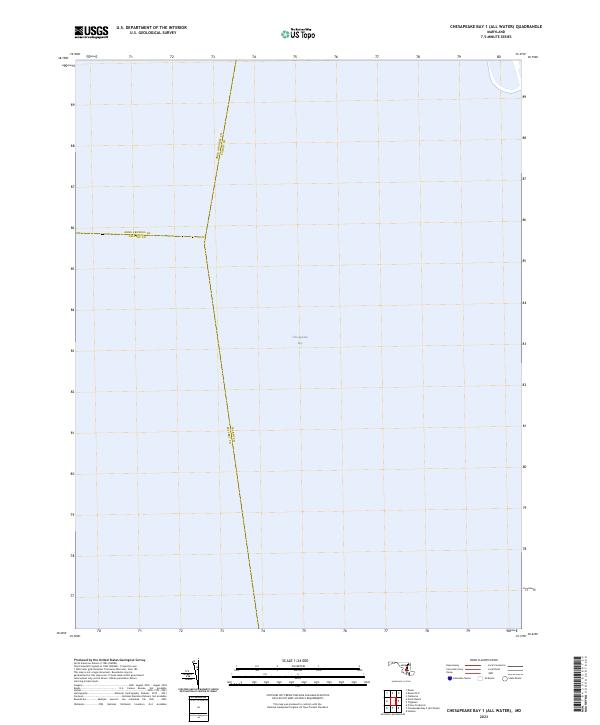
2023 Chesapeake Bay 1 (All Water)
Talbot County, MD
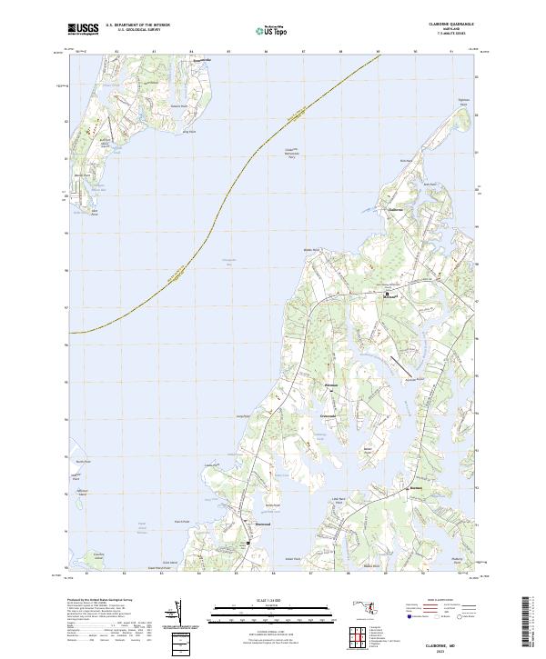
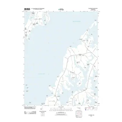
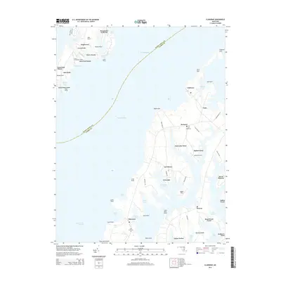
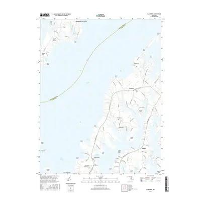
2023 Claiborne
Talbot County, MD
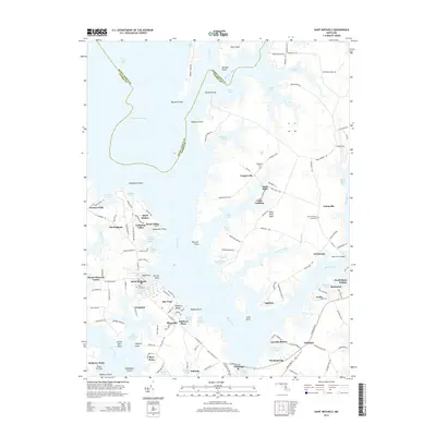
2023 Saint Michaels
Talbot County, MD
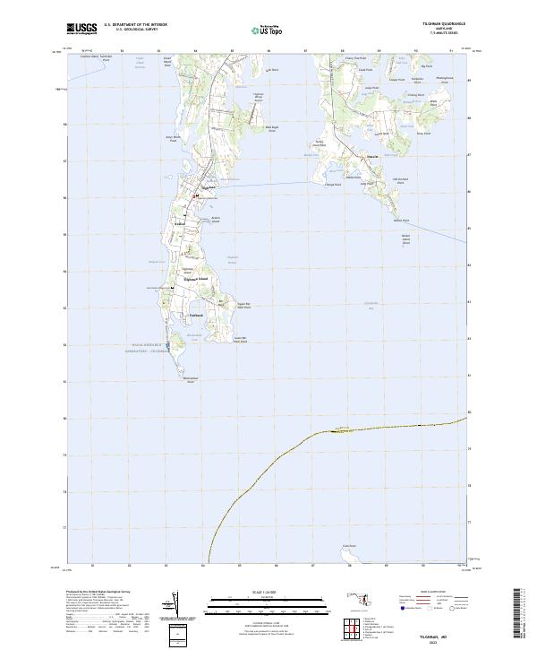
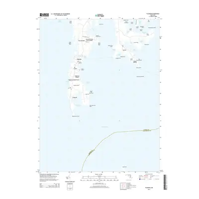
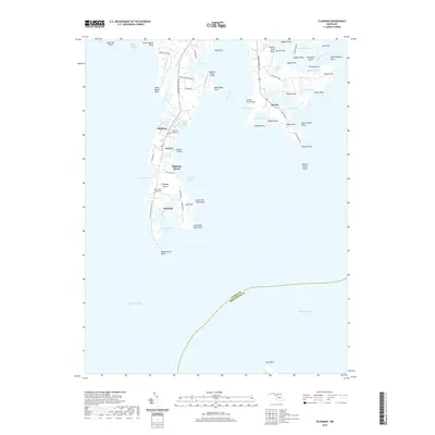
2023 Tilghman
Talbot County, MD