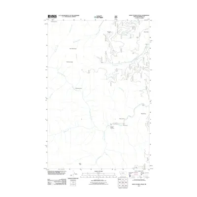
2011 Map of Saint Patrick Peak
USGS Topo · Published 2011About this map
Saint Patrick Peak and the high ridges of the Bitterroot Mountains dominate this 2011 survey of western Montana. The landscape is defined by a dense network of watercourses including North Fork Fish Creek, Rock Creek, and McFarland Creek, which carve through deep drainages such as Whiterock Gulch and Louisiana Gulch. Human activity is concentrated in the southeast, where Baileys Lodge and the Hole-in-the-Wall Ranch sit near the confluence of Fish Creek and the West Fork Fish Creek.
Find a feature on this map
26 named features on this map. Tap any name to fly to it.
Don’t see what you’re looking for? This feature index may not catch every label — zoom into the map to look around manually.
Map Details
Editions of this 2011 Saint Patrick Peak Map
This is the sole edition of this map. No revisions or reprints were ever made.
Other maps of this area

1911 · Lolo
USGS Topo · 1:250,000

1913 · Lolo
USGS Topo · 1:250,000

1956 · Wallace
USGS Topo · 1:250,000

1956 · Hamilton
USGS Topo · 1:250,000

1959 · Hamilton
USGS Topo · 1:250,000

1959 · Tarkio
USGS Topo · 1:62,500

1960 · Wallace
USGS Topo · 1:250,000

1960 · Hamilton
USGS Topo · 1:250,000

1960 · Superior
USGS Topo · 1:62,500

1960 · Straight Peak
USGS Topo · 1:62,500