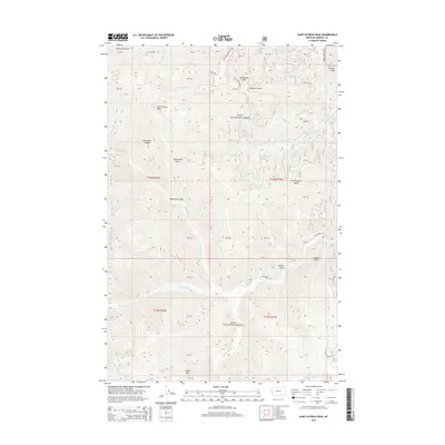
2014 Map of Saint Patrick Peak
USGS Topo · Published 2014About this map
Saint Patrick Peak and Cedar Peak anchor this high-elevation landscape within the Lolo National Forest of Mineral County. This interior Montana terrain is defined by a dense network of gulches and ridges that feed the watershed of Fish Cr, including Whitehorse Gulch, Louisiana Gulch, and Packers Gulch. The map illustrates a complex drainage system where N Fork Fish Cr, W Fork Fish Cr, and Straight Cr converge, providing a detailed look at the hydrology of the Bitterroot Mountains.
Find a feature on this map
30 named features on this map. Tap any name to fly to it.
Don’t see what you’re looking for? This feature index may not catch every label — zoom into the map to look around manually.
Map Details
Editions of this 2014 Saint Patrick Peak Map
This is the sole edition of this map. No revisions or reprints were ever made.
Other maps of this area

1911 · Lolo
USGS Topo · 1:250,000

1913 · Lolo
USGS Topo · 1:250,000

1956 · Wallace
USGS Topo · 1:250,000

1956 · Hamilton
USGS Topo · 1:250,000

1959 · Hamilton
USGS Topo · 1:250,000

1959 · Tarkio
USGS Topo · 1:62,500

1960 · Wallace
USGS Topo · 1:250,000

1960 · Hamilton
USGS Topo · 1:250,000

1960 · Superior
USGS Topo · 1:62,500

1960 · Straight Peak
USGS Topo · 1:62,500