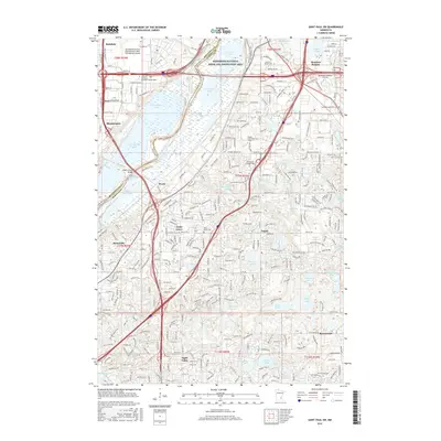
2016 Map of Saint Paul SW
USGS Topo · Published 2016About this map
The Minnesota River corridor and its expansive wetlands dominate this 2016 survey, carving a wide valley between the growing suburbs of Hennepin and Dakota counties. Within this protected landscape, the Mississippi National River and Recreation Area encompasses a complex network of water bodies, including the elongated Long Meadow Lake and the industrial-adjacent Black Dog Lake. This area reflects the mid-century transition from smaller settlements like Nicols and Cedar Grove into the sprawling residential and commercial centers of Burnsville, Eagan, and Apple Valley.
Find a feature on this map
281 named features on this map. Tap any name to fly to it.
Don’t see what you’re looking for? This feature index may not catch every label — zoom into the map to look around manually.
Map Details
Editions of this 2016 Saint Paul SW Map
This is the sole edition of this map. No revisions or reprints were ever made.
Other maps of this area

1896 · Minneapolis
USGS Topo · 1:62,500

1896 · St. Paul
USGS Topo · 1:62,500

1901 · Minneapolis
USGS Topo · 1:62,500

1951 · St. Paul West
USGS Topo · 1:24,000

1951 · Inver Grove
USGS Topo · 1:24,000

1951 · St. Paul SW
USGS Topo · 1:24,000

1951 · St. Paul East
USGS Topo · 1:24,000

1951 · St. Paul
USGS Topo · 1:62,500

1952 · Minneapolis South
USGS Topo · 1:24,000

1953 · Saint Paul
USGS Topo · 1:250,000