
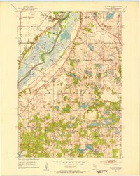
1951 Map of St. Paul SW
USGS Topo · Published 1953About this map
Fort Snelling Reservation and the sprawling Fort Snelling National Cemetery anchor the northern landscape of this mid-century survey, where the Minnesota River carves a wide valley between Hennepin and Dakota Counties. The river's wetlands and backwaters, including Black Dog Lake and Long Lake, dominate the central corridor, crossed only by the Cedar Ave Bridge. This period reveals the early suburban transition of the southern Twin Cities area, showing the distinct boundaries of Bloomington, Eagan, and Burnsville before modern interstate development reshaped the terrain.
Find a feature on this map
36 named features on this map. Tap any name to fly to it.
Don’t see what you’re looking for? This feature index may not catch every label — zoom into the map to look around manually.
Map Details
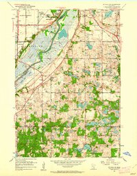
Editions of this 1951 St. Paul SW Map
3 editions found
Other maps of this area

1896 · Minneapolis
USGS Topo · 1:62,500

1896 · St. Paul
USGS Topo · 1:62,500

1901 · Minneapolis
USGS Topo · 1:62,500

1951 · St. Paul West
USGS Topo · 1:24,000

1951 · Inver Grove
USGS Topo · 1:24,000

1951 · St. Paul East
USGS Topo · 1:24,000

1951 · St. Paul
USGS Topo · 1:62,500

1952 · Minneapolis South
USGS Topo · 1:24,000

1953 · Saint Paul
USGS Topo · 1:250,000

1954 · Bloomington
USGS Topo · 1:24,000